
Geographic Information Systems (GIS)
Quick Facts
- Pathway: STEM
- Campus: Trinity River
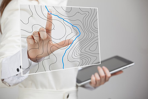
GIS is a combination of cartography and data analysis that uses the latest in location technology to allow users to create data-driven graphics that can help make decisions in a variety of industries.
Request Info About TCC
Fill out the form to receive more information about Tarrant County College.
Explore on This Page
Our Program
Why Choose GIS?
- Be able to work in a variety of fields, including marketing, healthcare, and environmental conservation
- Work extensively with data, statistics, and computing
- Create useful graphics that can help in emergency situations, such as tornado or hurricane relief
Prepare for What You Will Do at Work
- Use GIS software suites to produce graphical representations of data (maps), tables, and reports
- Update and modify existing GIS databases
- Act as a GIS subject matter expert when consulting with users or clients
- Perform data analysis, application development, and programming development within GIS software
Watch These Videos to Learn More About GIS
From Esri, maker of GIS system software:
- What is GIS? (opens in a new tab)
- The Remarkable GIS Response to COVID-19 (opens in a new tab)
From CareerOneStop, resource for career exploration:
- Geospatial Information Scientists & Technologists (opens in a new tab)
Marketable Skills You Will Learn
- Critical thinking
- Reasoning
- Communication
- Personal and social responsibility
- Teamwork
- Computer literacy
Before You Enroll, Think About:
- Be prepared for extensive work with data in both numerical and graphical formats
- For the A.A.S. degree, you must be TSI college ready in order to take the required core curriculum courses in the first year
- Each of the certifications will prepare you for basic use of GIS.
- The AAS degree will give you a stronger GIS foundation for an entry-level position and will give you a better chance at getting one.
- To become a GISP (Certified Geographic Information Systems Professional), you must
be certified through the GIS Certification Institute (GISCI) (opens in a new tab). The requirements are as follows:
- 4 years of GIS professional experience
- GISCI Application Information: Exam and Portfolio (opens in a new tab)
Need a boost to get ready for college?
Talk to your advisor about Developmental Studies if your TSI scores say you need some help in math or reading and writing.
Degrees & Certificates
Explore the TCC Catalog and view the list of courses you will need to take for your degree or certificate.
Degree
Certificates
Level 1
Level 2
How Much Time & Money to Finish?
2026–2027 Academic Year
| Degree or Certificate | Program Title | Semester Credit Hours | Total Tuition & Fees |
|---|---|---|---|
| AAS | Geographic Information Systems | 60 | $4,440 |
| CRT1 | Basic Geographic Information Systems (GIS) Skills | 20 | $1,480 |
| CRT1 | Geographic Information Systems (GIS) Programmer | 39 | $2,886 |
| CRT2 | Geographic Information Systems Programmer | 45 | $3,330 |
Notes:
- Tuition is based on in-state, in-county rates.
- Totals do not include textbooks and other materials.
Continuing Education Programs
Time commitments and fees vary depending on the course.
Earn More Choices & More Money
Transfer to a college or university to continue your studies. Earning a bachelor’s degree opens the door to promotion opportunities.
For example, you will be ready to work toward a Bachelor of Science in GIS.
Explore these bachelor's degree opportunities:
- University of North Texas (UNT): Bachelor of Science in Geographic Information Systems (GIS) + Computer Science (CS)
- University of Texas at Dallas (UTD): Bachelor of Science in Geospatial Information Sciences
- Tarleton State University: Bachelor of Science in Geography and Geographic Information Systems
- Tarleton State University: Bachelor of Applied Arts and Sciences in Geographic Information Systems
Next steps
- Talk to your advisor about planning for transfer
- Explore transfer schools
Start on Your Pathway!
Contact
TCC Trinity River
Katsuhiko “Kirk” Oda, Ph.D., GISP
GIS Program Coordinator
Call 817-515-1936
Email katsuhiko.oda@tccd.edu
Updated September 02, 2026